
Nepal's unique geographical features, nestled between the towering Himalayas to the north and the vast plains of the Indian subcontinent to the south, paint a diverse and captivating landscape that is as rich in natural beauty as it is in cultural heritage.
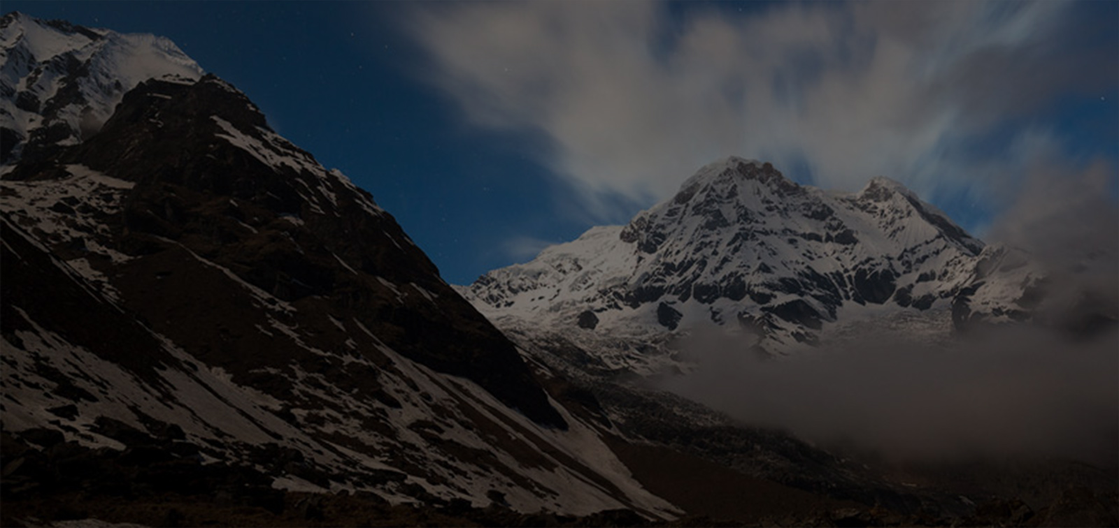
The Himalaya, comprising 15% of Nepal's total area, forms the northern border of the country and boasts some of the world's most iconic peaks, including the legendary Mount Everest, towering at 8,848 meters above sea level. This majestic region is characterized by its rugged terrain, sparse vegetation, and extreme altitudes, with some areas reaching heights of over 4,500 meters. Despite the harsh conditions, the Himalayan range is teeming with life, harboring a rich diversity of flora and fauna. Rare and elusive species such as the snow leopard and the vibrant Danphe bird capture the imagination of visitors, while local communities engage in traditional practices such as cheese production and trade with neighboring Tibet.
Descending southwards, the Hills region covers the majority of Nepal's land area, encompassing picturesque valleys like Kathmandu and Pokhara. With elevations ranging from 500 to 3,000 meters above sea level, this region enjoys a temperate climate, though temperatures can plummet below freezing during the winter months. The eastern hills receive ample rainfall from monsoon clouds originating from the Bay of Bengal, nourishing lush forests that are home to a myriad of wildlife species, including the elusive spotted leopard, the graceful barking deer, and the iconic Himalayan black bear. The Hills region is also a haven for birdwatchers, boasting over four hundred species of birds as well as a treasure trove of medicinal herbs and diverse flora.
Finally, the Terai, or lowland region, sprawls across 17% of Nepal's territory, providing fertile farmland and serving as the breadbasket of the nation. With average elevations ranging from 100 to 300 meters above sea level, the Terai boasts a subtropical climate and lush vegetation, including dense forests and marshlands teeming with wildlife. Here, iconic species such as the Royal Bengal tiger, the one-horned rhinoceros, and the elusive Gharial crocodile roam freely, protected within the confines of national parks and wildlife reserves. The Terai is not only a hotspot for biodiversity but also a hub of human activity, with nearly half of Nepal's population residing in this region and engaging in agriculture, industry, and commerce.
In essence, Nepal's topographical diversity—from the soaring peaks of the Himalayas to the verdant hills and fertile plains of the Terai—makes it a veritable paradise for nature enthusiasts, adventurers, and cultural explorers alike. Each region offers its own unique blend of natural wonders, cultural heritage, and vibrant communities, inviting visitors to embark on a journey of discovery through the heart of the Himalayan kingdom.

Awards & Recognition


ASSOCIATED WITH


© Copyright 2025 Unique Adventure International Pvt. Ltd. All Rights Reserved | Website By: webtechline.com